This article relates to Goal 2: Zero hunger, one of the 17 UN Sustainable Development Goals. Goal icon by the United Nations. Emberoot is not affiliated with, or endorsed by, the UN.
Hunger is partly a data problem. Governments and aid agencies often learn about a food crisis late, farmers sell without knowing prices elsewhere, and shops throw away food that could have been sold or given away. Technology for SDG 2 helps most at those points: early warning, better farm decisions, fairer markets and less waste. This article looks at named tools with published details, what they do, and what they cannot do.
Early warning: WFP’s HungerMap LIVE
The World Food Programme launched HungerMap LIVE in 2020 to track food security in more than 90 countries. It pulls together conflict data, weather, vegetation readings from NASA, hazard data, market prices, currency and inflation figures, and daily results from WFP phone surveys run through call centres. Where survey data is thin, machine learning models trained on 14 years of data from 63 countries produce what WFP calls nowcasts: near real-time estimates of how many people are not eating enough.
The value is speed. A government or donor can spot a deteriorating area sooner than a traditional field assessment would report it. The limit is that a nowcast is an estimate, so it guides where to look rather than replacing people on the ground.
Open geospatial data: FAO Hand-in-Hand
FAO’s Hand-in-Hand Geospatial Platform, launched in 2020, is registered as a digital public good. FAO says it opens more than 2 million data layers on soil, water, land use, climate, crops and markets, alongside FAOSTAT data for more than 245 countries and territories going back to 1961. FAO says the aim is to target investment and interventions more precisely, and more than 65 countries and institutions have joined its workshops.
Precision farming and satellites
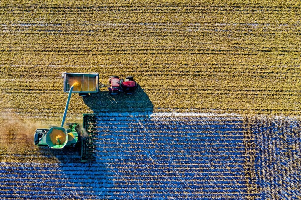
On larger farms, drones, satellite imagery and soil sensors show which parts of a field need water, fertiliser or pest control, so farmers apply less and waste less. Weather and crop advice delivered by text message or voice call reaches farmers who only have a basic phone. These tools can raise yields and cut costs, but the gains depend on the farmer being able to buy the seed, water or fertiliser the advice recommends.
Fairer markets: India’s e-NAM
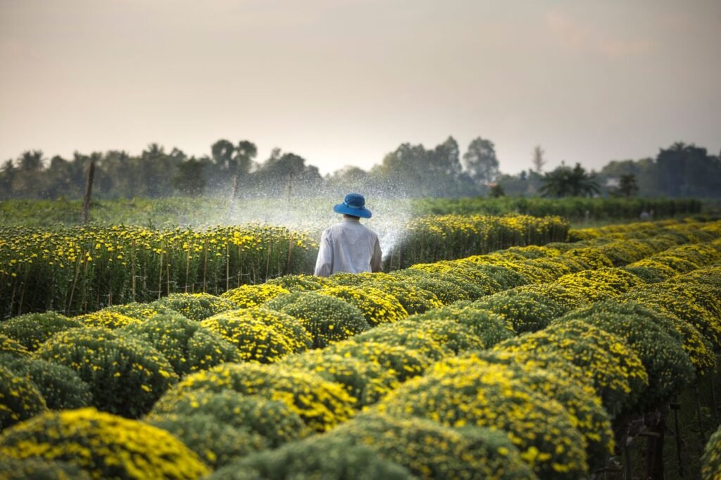
India’s e-NAM (National Agriculture Market) is an online trading portal run under the Ministry of Agriculture and Farmers’ Welfare. The portal lists the regulated wholesale markets, known as mandis, on its network and publishes trading data. The aim is that buyers beyond a farmer’s nearest market can bid for produce online and farmers can see prices elsewhere. The logic is simple: more buyers and more visible prices should mean better returns for growers, which connects directly to target 2.3 on small producers’ incomes.
Less waste: surplus food apps
At the other end of the chain, apps match surplus food with people who will buy or collect it. Too Good To Go, founded in Copenhagen in 2016, says it has saved more than 500 million meals across 20 countries by letting shops and restaurants sell end-of-day surplus at a lower price. That matters because UNEP estimated that 1.05 billion tonnes of food were wasted in 2022, according to UN News.
The limits
Technology does not stop wars, droughts or price shocks, which drive much of the world’s hunger. Many small farmers lack smartphones, reliable connections, credit or the language support to use digital tools. Models can be wrong where data is sparse. Farm data has value, so who owns and profits from it is a fair question. And funding still matters: the UN Sustainable Development Goals Report 2026 shows agriculture’s share of government spending fell from 2.09% in 2015 to 1.83% in 2024.
For anyone building tools in this space, the practical lessons are to design for basic phones and low bandwidth, work in local languages, test with farmers before scaling and be clear about who owns the data.
If your users are farmers or field staff, build for offline use first and sync later. Rural connections are often less reliable.
If you are planning an app for farmers, food businesses or field teams, our apps page explains how we scope and build them. The Goal 2 page has the targets and data, and the Global Goals hub covers all 17 goals.
Frequently asked questions
How does technology help achieve zero hunger?
It helps spot food crises earlier, guide farm decisions, connect farmers with more buyers and cut waste. Examples include WFP’s HungerMap LIVE for near real-time monitoring, FAO’s Hand-in-Hand Geospatial Platform for open data, India’s e-NAM trading portal and surplus food apps. Technology supports these efforts but cannot fix conflict, climate shocks or poverty on its own.
What is HungerMap LIVE?
HungerMap LIVE is a World Food Programme tool launched in 2020 that tracks food security in more than 90 countries. It combines phone survey results with weather, vegetation, prices, conflict and economic data, and uses machine learning to estimate food insecurity where surveys are missing. Its estimates help decide where to look, not replace field assessments.
What are the risks of digital agriculture?
Small farmers without smartphones, connectivity or credit can be left behind, so benefits flow to larger farms. Advice is only useful if farmers can afford the inputs it recommends. Data collected from farms can be used commercially, so ownership and consent matter. Models can also be wrong where data is sparse.