
This article relates to Goal 13: Climate action, one of the 17 UN Sustainable Development Goals. Goal icon by the United Nations. Emberoot is not affiliated with, or endorsed by, the UN.
Climate technology gets a lot of excited coverage. The useful version is quieter: software that turns satellite images into emissions estimates, forecasts that give a village a week’s warning before a river floods, and floats that measure ocean heat and post the data free online. This article looks at how data, AI and automation help on SDG 13, climate action, with named examples and an honest account of where they fall short.
Where technology helps SDG 13 climate action
Goal 13 has two halves, and technology serves both. On the cutting side, the problem is knowing who emits what. On the adapting side, the problem is warning people in time and planning for risk. Good data is the common thread.
Early warning: Google Flood Hub and WMO
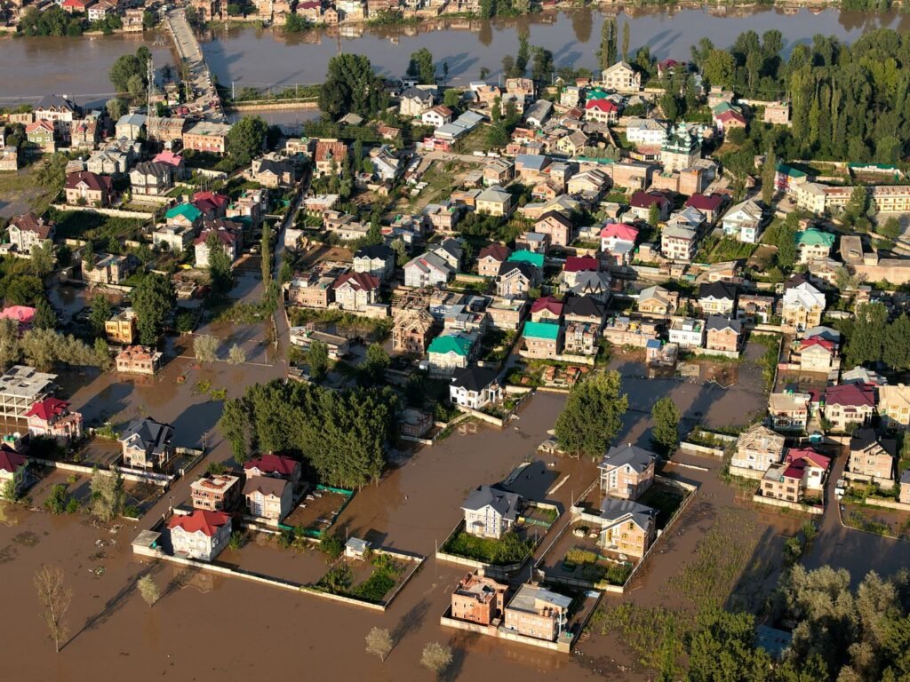
Floods are among the most common disasters, and warning time saves lives. Google’s Flood Hub uses machine learning models to forecast river floods up to seven days ahead and urban flash floods up to 24 hours ahead, with daily updates. Google says it covers river basins in more than 150 countries and reaches about two billion people in areas at risk of significant flooding. It offers a public API, and the hydrology model is open-sourced on GitHub, which lets researchers and agencies test and build on it.
This sits alongside public systems. The World Meteorological Organization counted 119 countries with multi-hazard early warning systems in 2025. The UN reports that countries with more complete systems see far fewer disaster deaths, which is why the Early Warnings for All initiative aims to cover everyone on Earth by 2027.
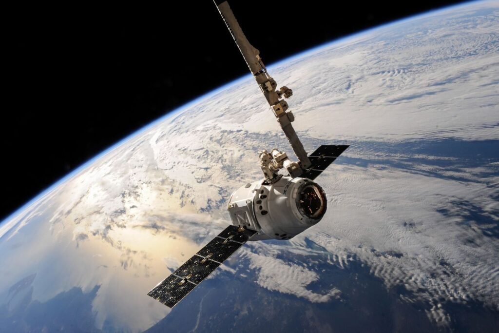
Tracking emissions from space: Climate TRACE
National emissions inventories can be years out of date and rely on self-reporting. Climate TRACE is a coalition of nonprofits, technology companies and universities that estimates emissions independently, using satellite imagery, other remote sensing and machine learning. It publishes free data at the level of individual sources such as power plants and large factories. For journalists, researchers and buyers checking a supplier’s claims, this kind of independent estimate is a useful cross-check.
Watching the ocean: Argo floats
The ocean absorbs about 91% of excess heat in the climate system, according to the UN’s 2026 report. Much of what we know comes from Argo, an international programme of roughly 4,000 robotic floats that drift and dive to about 2,000 metres, measuring temperature and salinity. Newer floats add oxygen, pH and chlorophyll. The data is free to anyone, which makes it a backbone for climate models worldwide.
Automation inside organisations
For most businesses the relevant technology is less dramatic. Emissions accounting means collecting bills, fuel logs, travel data and supplier figures, then applying the factors set out in the GHG Protocol standards. Doing that by hand every quarter is slow and error-prone. Connecting accounting software, energy meters and a simple database so the numbers update themselves is ordinary automation work, and it is exactly what new rules like the UAE’s emissions reporting law make useful.
Say a logistics firm in Dubai wants a monthly emissions figure by vehicle. A small integration that pulls fuel card data and mileage into a dashboard can do it, and flag vans that use far more fuel than the rest. This is a hypothetical example, but it is a common type of project.
The limits
- Check the data source and date
- Pair tools with local knowledge
- Publish methods openly
- Plan for patchy connectivity
- Treating a dashboard as action
- Trusting models without local data
- Ignoring the energy use of AI
- Warnings that never reach people
Technology has four clear limits on this goal. Models need good local data, and the places most at risk often have the fewest weather stations. A warning only works if it reaches people through channels they trust, in a language they speak, with somewhere safe to go. Satellite estimates carry uncertainty and should be read as estimates. And large AI models use significant electricity themselves, so the climate case for any AI tool should be weighed rather than assumed.
None of these limits argue against using technology. They argue for pairing it with people, institutions and funding. Read more on the Goal 13 page or browse the other goals on our Global Goals hub.
Frequently asked questions
How does AI help with climate change?
AI helps mainly with forecasting and measurement. Google’s Flood Hub uses machine learning to forecast river floods up to seven days ahead, and Climate TRACE uses satellite data and machine learning to estimate emissions from individual facilities. AI does not cut emissions on its own; people and organisations still have to act on what the data shows.
Is climate data free to use?
A lot of it is. Argo ocean float data is free for anyone, Flood Hub information is publicly available with an API, and Climate TRACE publishes its emissions estimates openly. Always check each dataset’s licence and update date before relying on it, especially for commercial use or published reports.
Can a small business use climate technology?
Yes, and often cheaply. The most common uses are automating emissions accounting from bills and fuel records, monitoring energy use with smart meters, and subscribing to official weather and flood alerts. Start with the data you already collect, then connect it so reports update without manual copying.